The Austrian Alpine Index

Architectures of Stone, Water & Glacier Elevation.

An authoritative guide through the Austrian Alps. From preserved wooden hamlets in the Salzkammergut to high alpine railways, glacier platforms, and pristine turquoise lakes.

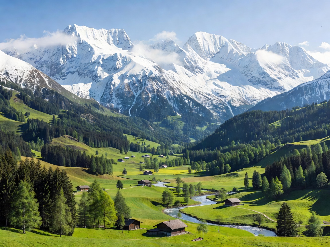
Snow-capped Austrian alpine peaks with lush green valley below
Curated Alpine Portfolios

Five Core Pillars of Austrian Mountain Exploration

Each pillar represents a distinct dimension of the Austrian mountain landscape, built on regional transit links, high-alpine infrastructure, and geographic traditions.

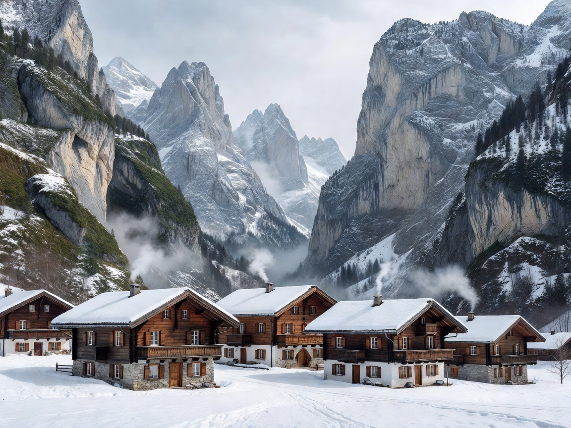
Picturesque wooden chalets in an Austrian mountain village surrounded by steep limestone cliffs Pillar 01
Heritage & Valleys Tyrol • Vorarlberg • Carinthia • Salzkammergut

Alpine Mountain Villages

Examine the architectural heritage, strict timber bylaws, and seasonal rhythms of preserved high-elevation settlements including Hallstatt, Alpbach, Heiligenblut, and Lech am Arlberg.
Elevations: 511m – 1,444m Transit: ÖBB Rail & Regional Postbus Zoning: Vernacular Mandates
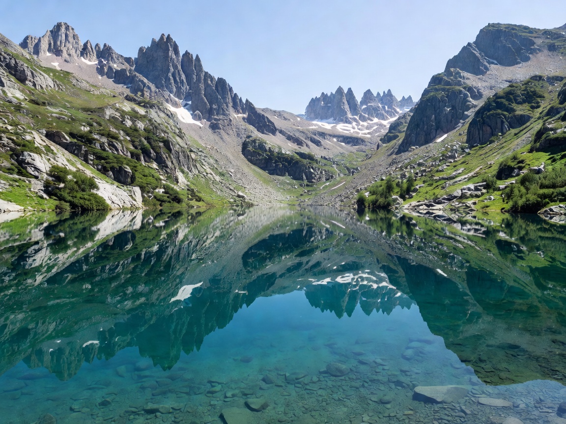
Clear turquoise alpine lake reflecting towering mountain ridges Pillar 02
Hydrology & Basins Salzkammergut • Achen Valley • Reutte Basin

Glacial Alpine Lakes

A technical survey of high-elevation and fjord-like freshwater bodies: Lake Achensee, Wolfgangsee, the crystalline Plansee, and the mirrored Gosausee with Dachstein glacier views.

Water Purity: Grade 1 (Drinking Quality) Max Depth: 133m (Lake Achensee) Transit: Ferries & Footpaths
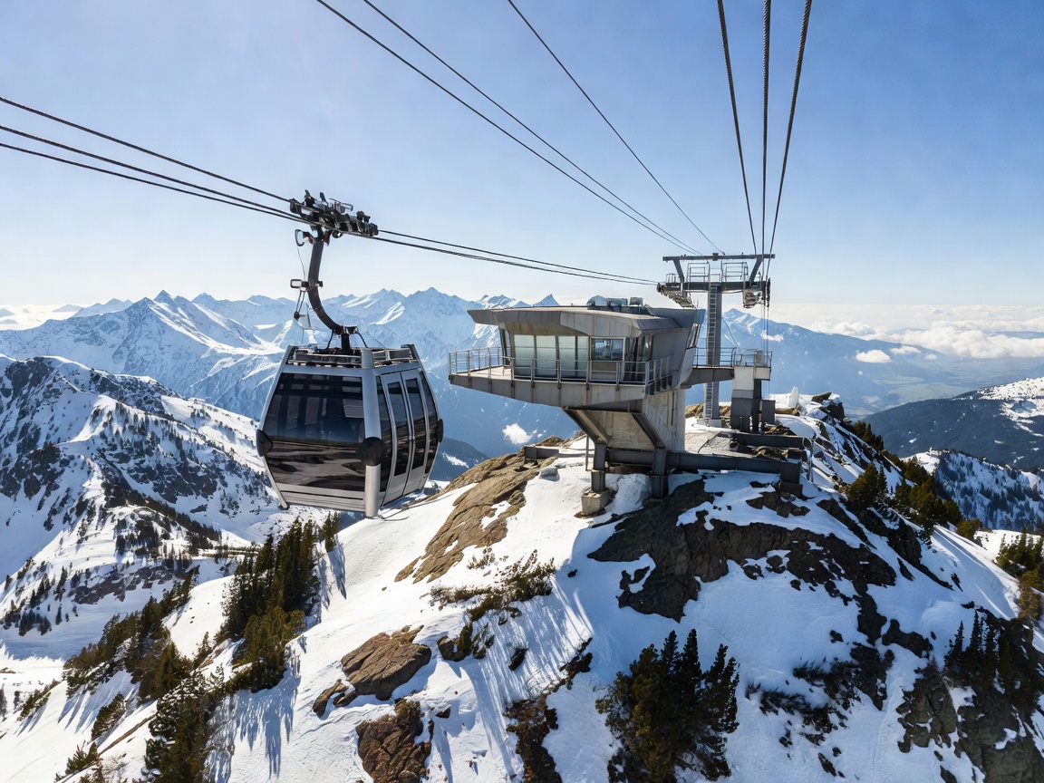
Modern aerial cable car ascending toward a rugged alpine summit platform Pillar 03
Elevation Engineering Dachstein Massif • Kaprun • Karwendel • Stubai

High-Altitude Cable Cars & Platforms

Pioneering mechanical engineering achievements ascending vertical limestone cliffs and permanent ice, from Dachstein Skywalk to Top of Salzburg and Innsbruck’s architectural Nordkettenbahnen.

Summit Reach: Up to 3,210m Systems: 3S Ropeways & Funiculars Features: Cantilevered Glass Decks
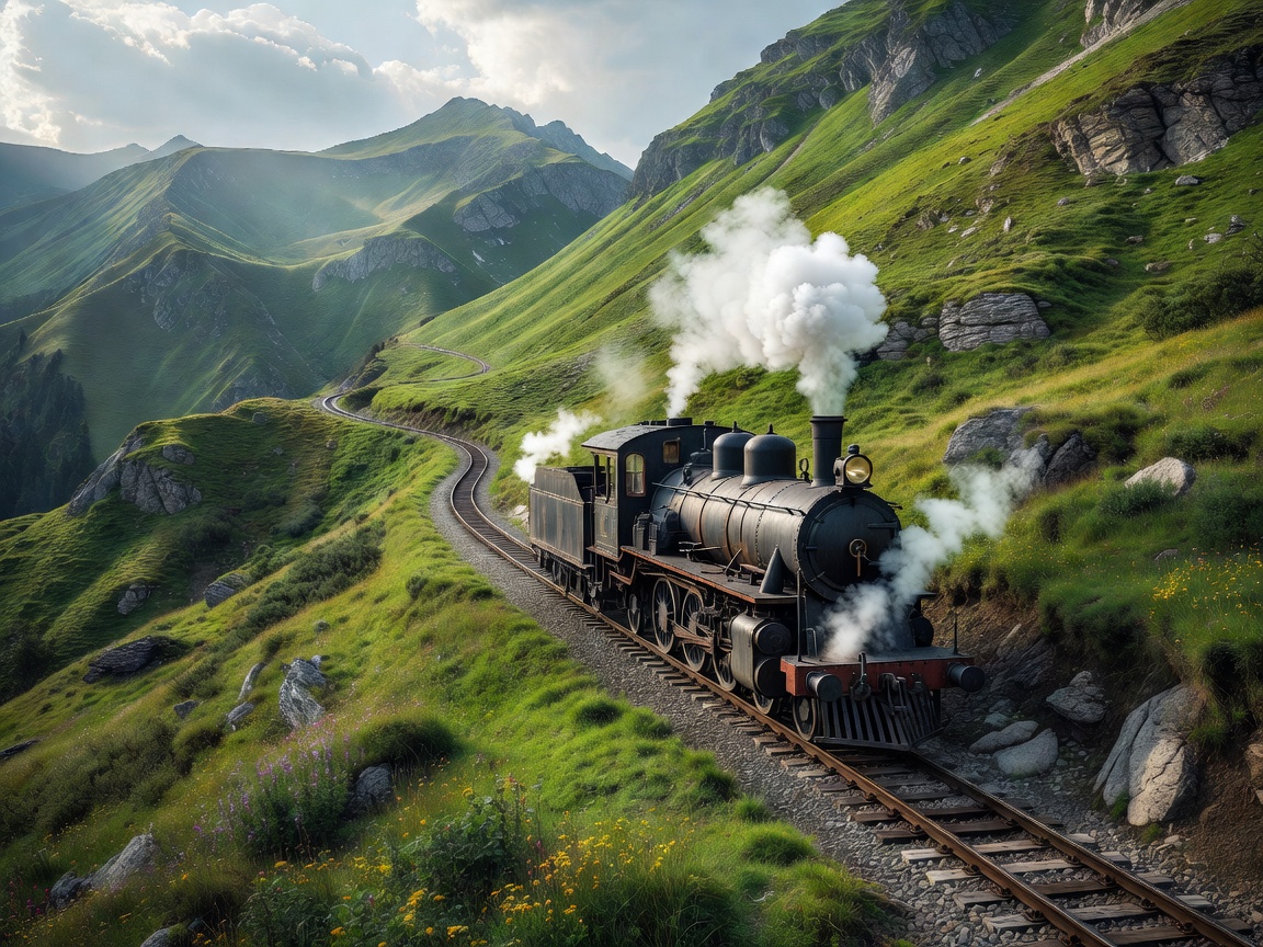
Cogwheel steam train climbing an emerald green alpine mountain pass Pillar 04
Historic Transit Lower Austria • Styria • Salzkammergut • Arlberg

Scenic Mountain Railways

Landmark civil engineering transit corridors, including the UNESCO-listed Semmering Railway, the 1893 Schafberg cogwheel rack ascent, and the narrow-gauge Mariazellerbahn route.

Gauges: Standard • 760mm • 1,000mm Max Gradient: 26% (Schafbergbahn) UNESCO: Semmeringbahn (1998)
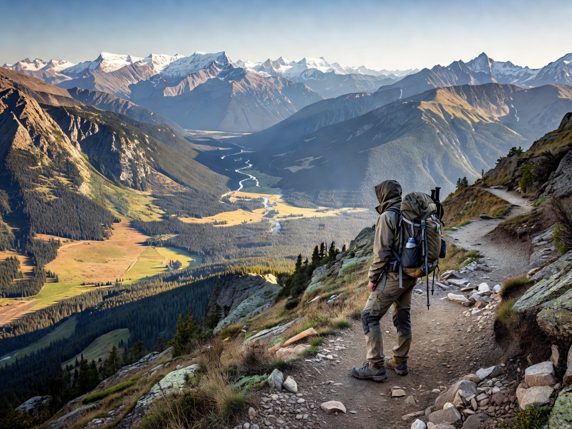
Hiker standing on an alpine trail overlooking expansive valley and mountain ranges Pillar 05
Backcountry & Ridges Tyrol • Hohe Tauern • Karwendel Nature Park

Iconic Hiking Routes & Passes

From the 33-stage Eagle Walk (Adlerweg) across Tyrol to the Hohe Tauern Panorama Trail and demanding ridge traverses connecting staffed ÖAV mountain huts.

Grading: ÖAV Blue • Red • Black Lodging: Staffed Alpine Refuges Season: Late June to Early October
Austrian Alpine Methodology

Precision Travel in the Eastern Alps

Austrian alpine infrastructure couples comprehensive national rail systems with synchronized regional postbuses and municipal lift systems.

01

Klimaticket & ÖBB Intermodal Linkages

Major alpine gateways connect via the Austrian Federal Railways (ÖBB) network, enabling low-emission transit directly to trailheads and valley stations without personal motor vehicles.

02

Alpenverein Hut Network

Maintained by the Austrian Alpine Club (ÖAV), an interconnected chain of staffed high-altitude refuges provides weather reports, emergency sheltering, and regional cuisine between 1,200m and 3,000m.

03

Seasonal Elevation Windows

High trails remain snowbound until late June, while autumn brings stable thermal conditions and unobstructed long-range visibility through mid-October across northern limestone massifs.